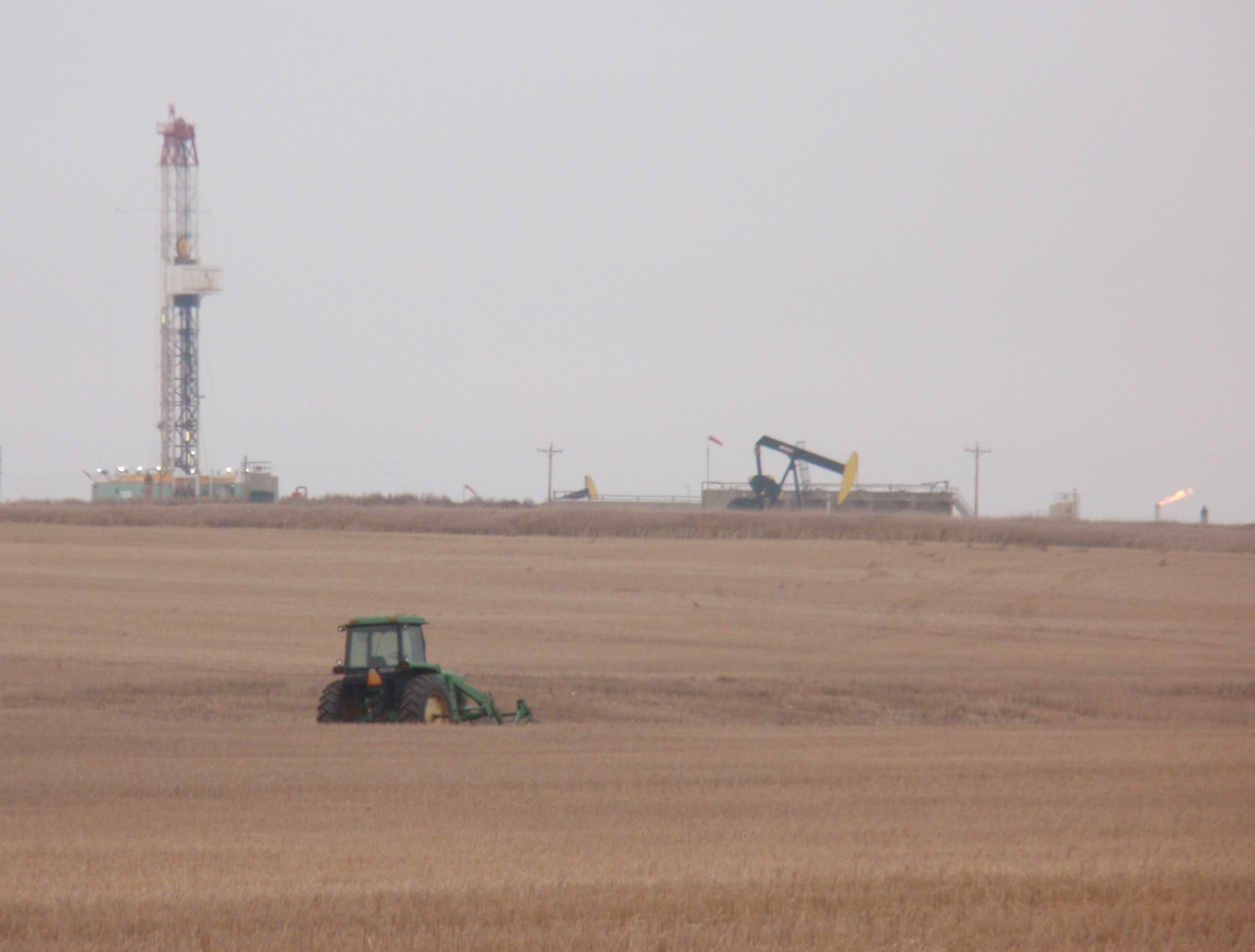
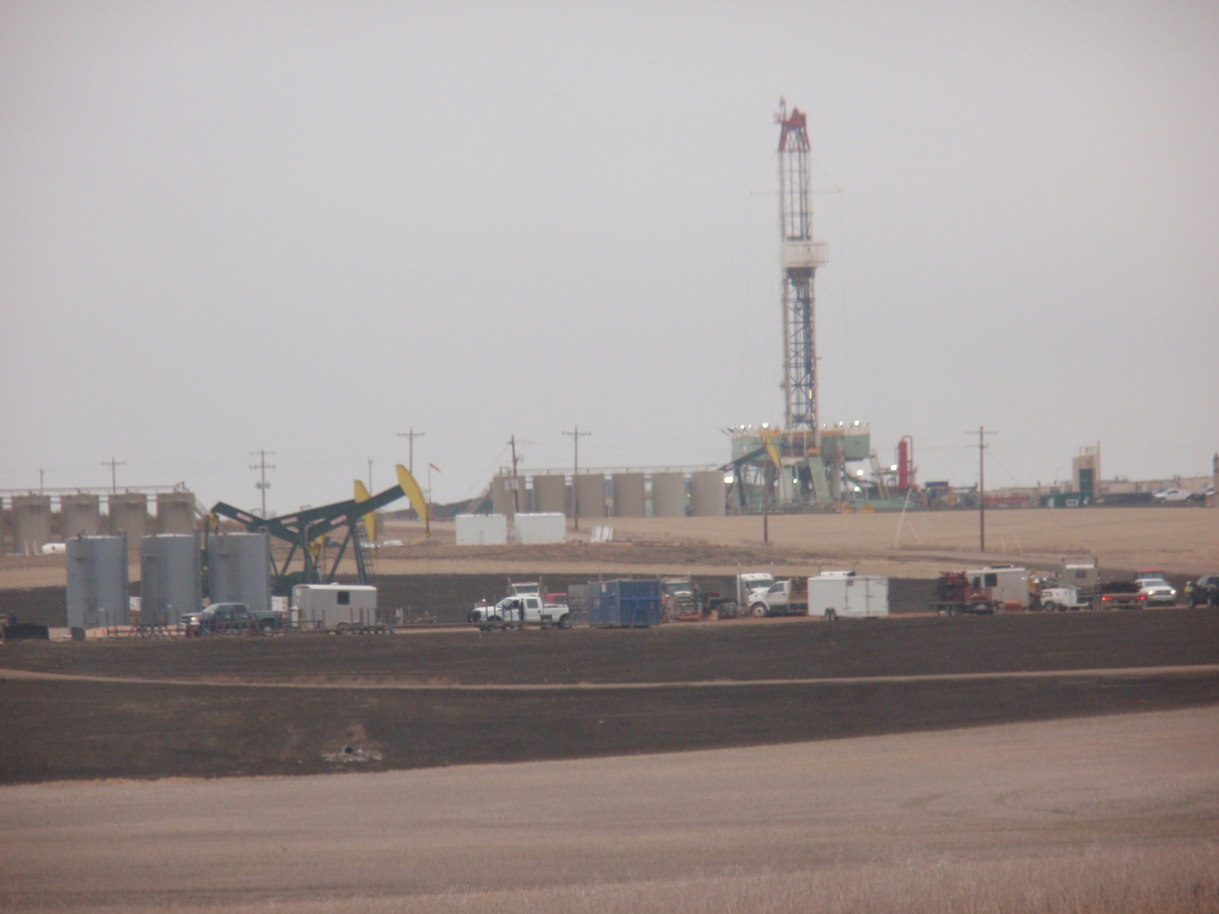
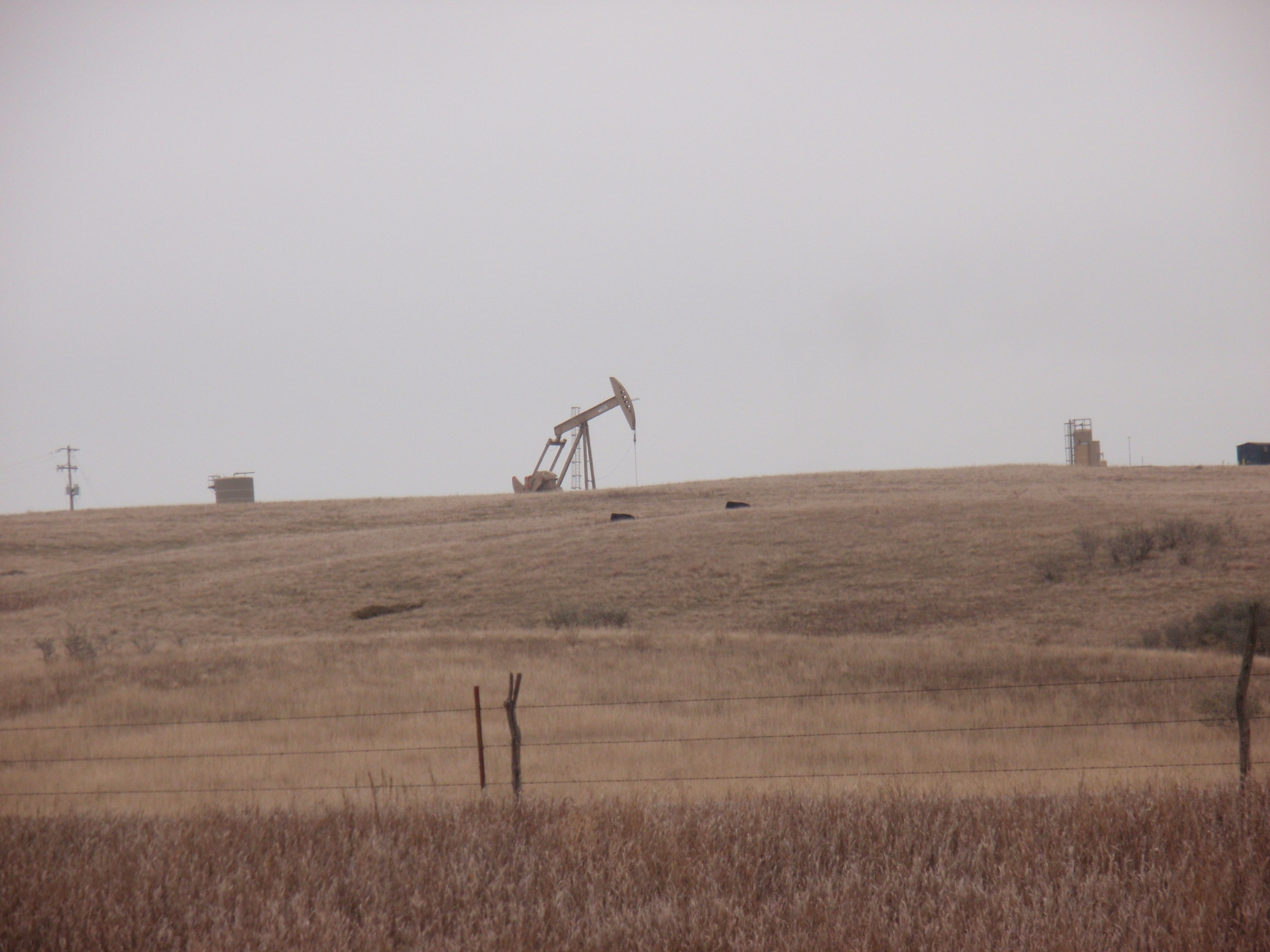
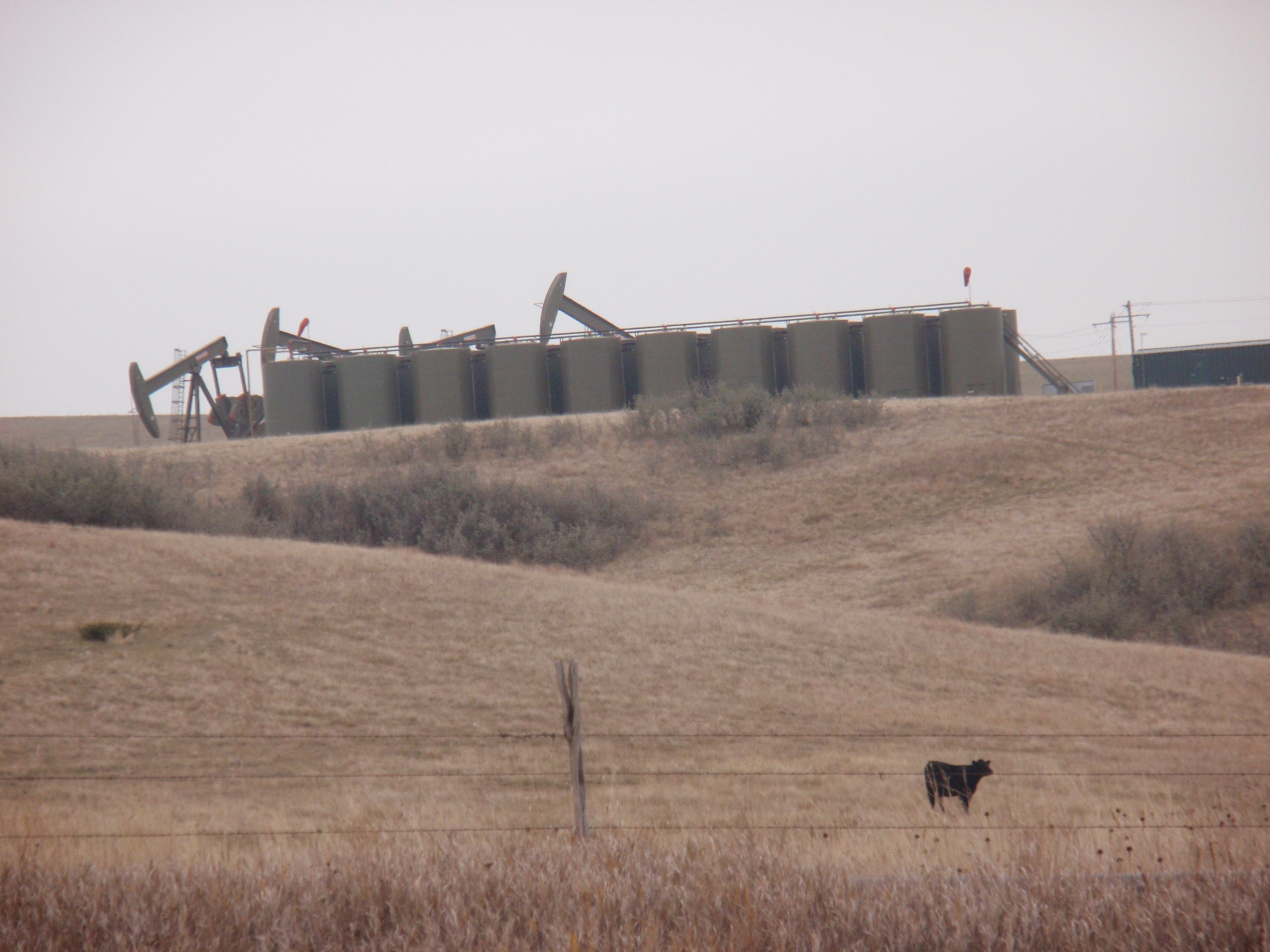
(all photos by James Ulvog – Two pumps visible in photo; there are 8 pumps on 4 pads I could see along the road from where this photo was taken to the rig in the background)
(Photo of above rig from a few hundred feet down the road from the previous view, showing additional wells.)
I took a drive east of Williston on highway 1804. Drove about 20 miles after getting out of town. Two amazing things struck me.
Number of drilling rigs
First is the number of drilling rigs in operation. I would guess I saw about a dozen rigs. Of course with their height you can see them a few miles away.
In addition, saw a number of small signs by the site of the road with a rig number. Those signs allow truck drivers is confirm the turnoff to their destination. I only saw one rig of the half-dozen signs I noticed.
Density of wells
The other noticeable thing is the density of wells. Land ownership is broken up into sections. Most roads follow section lines. Since the drillers want to have long runs for the underground lateral, wells go in at a section line. When driving along a section line you can see a string of wells over the course of a mile. All of the on the same side of the road. You just know the direction of all the laterals – away from the road!
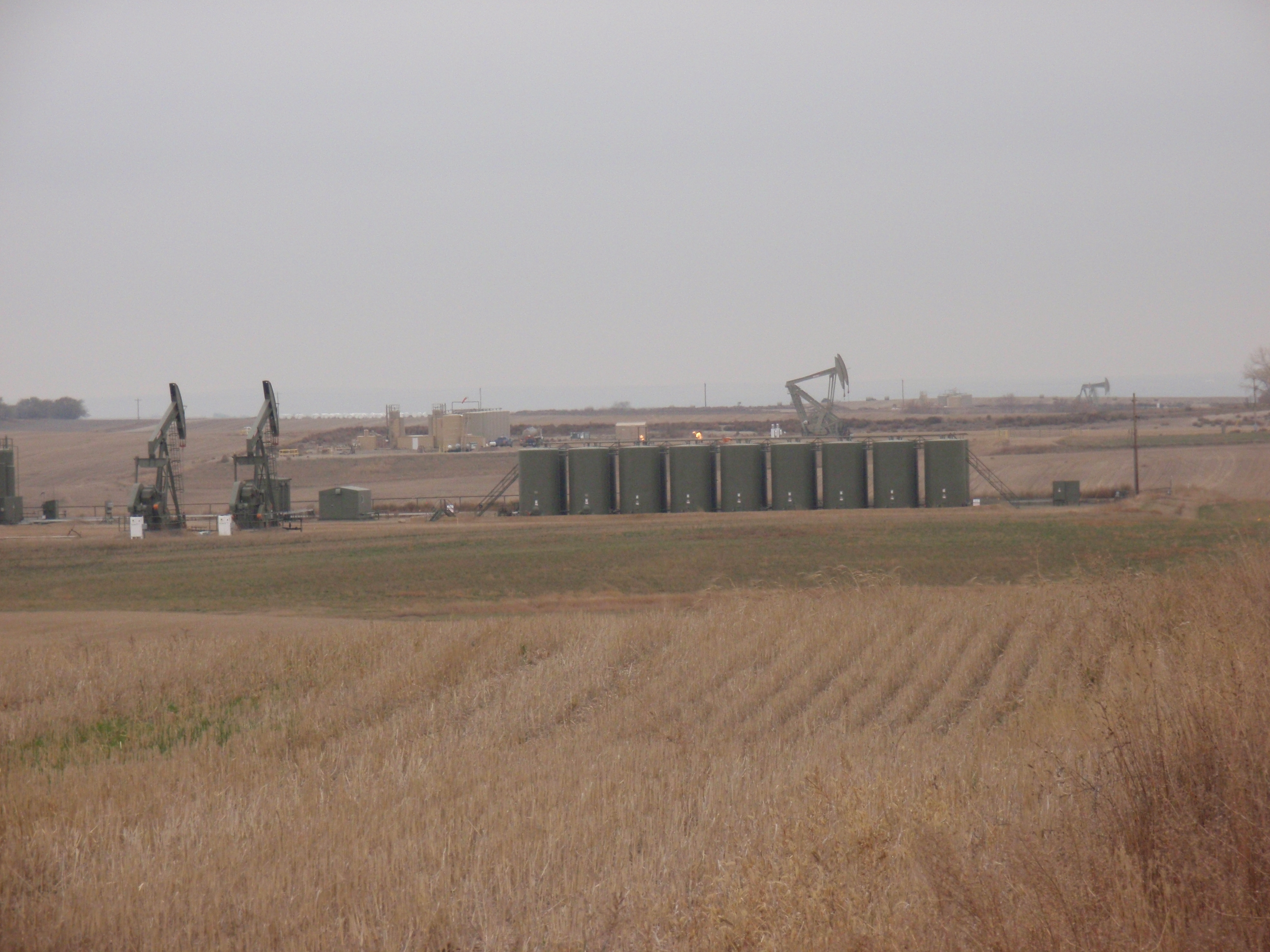
Here are a few pictures of long lines of wells.
There are three sets of wells in this picture – a pair on the left; two more in the middle ; another site at the far right but I couldn’t tell if the are one or two pumps on that site.
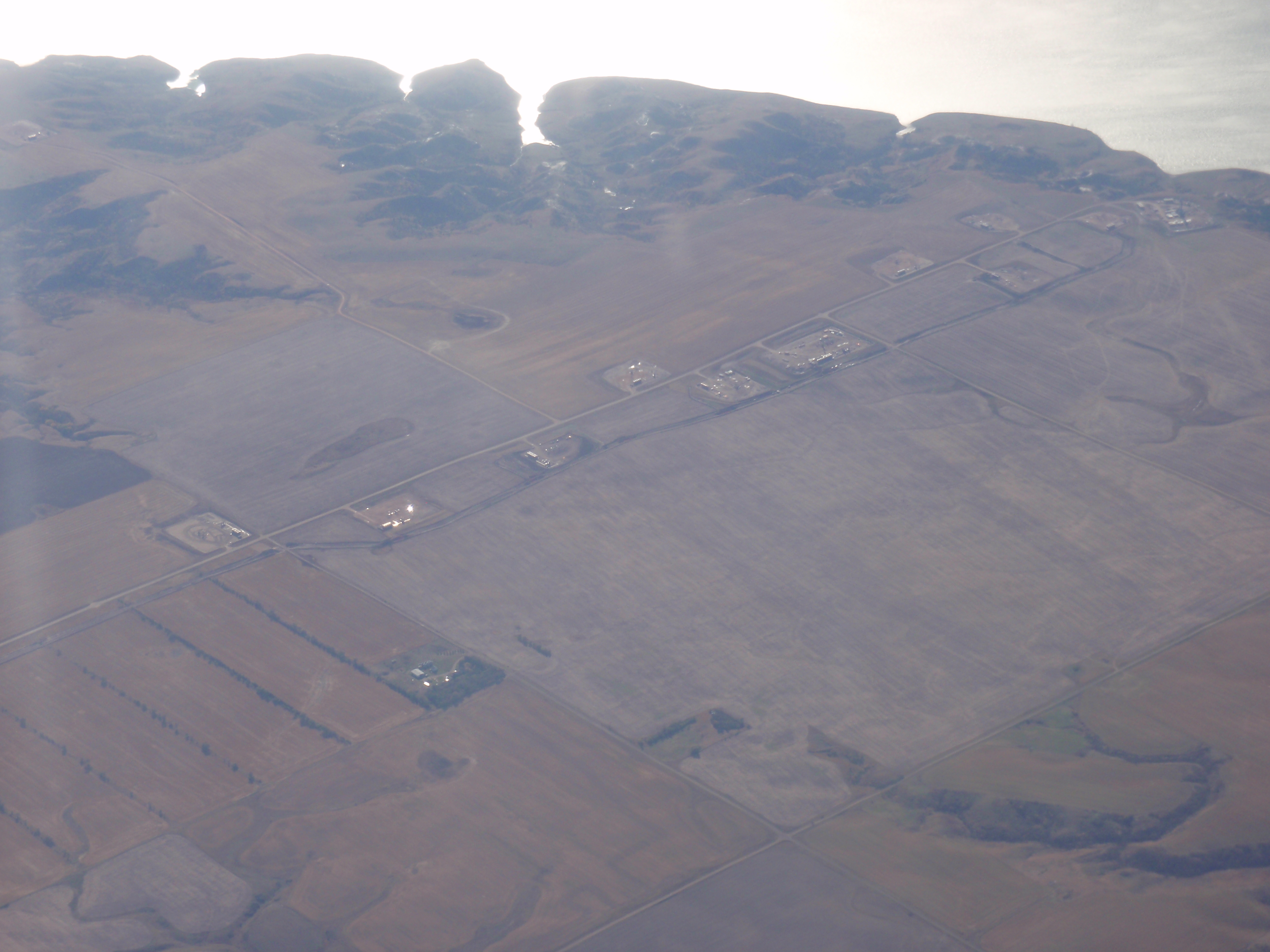
I can count a dozen pads in this view:
Here is a video showing a ridge line along Highway 1084. I hope it helps you see what I saw.
[youtube=http://youtu.be/ZZtotajPvyE]
Here are some closeups of those sites.
Just for perspective, count half a million barrels of oil for every one of those pump jacks.
