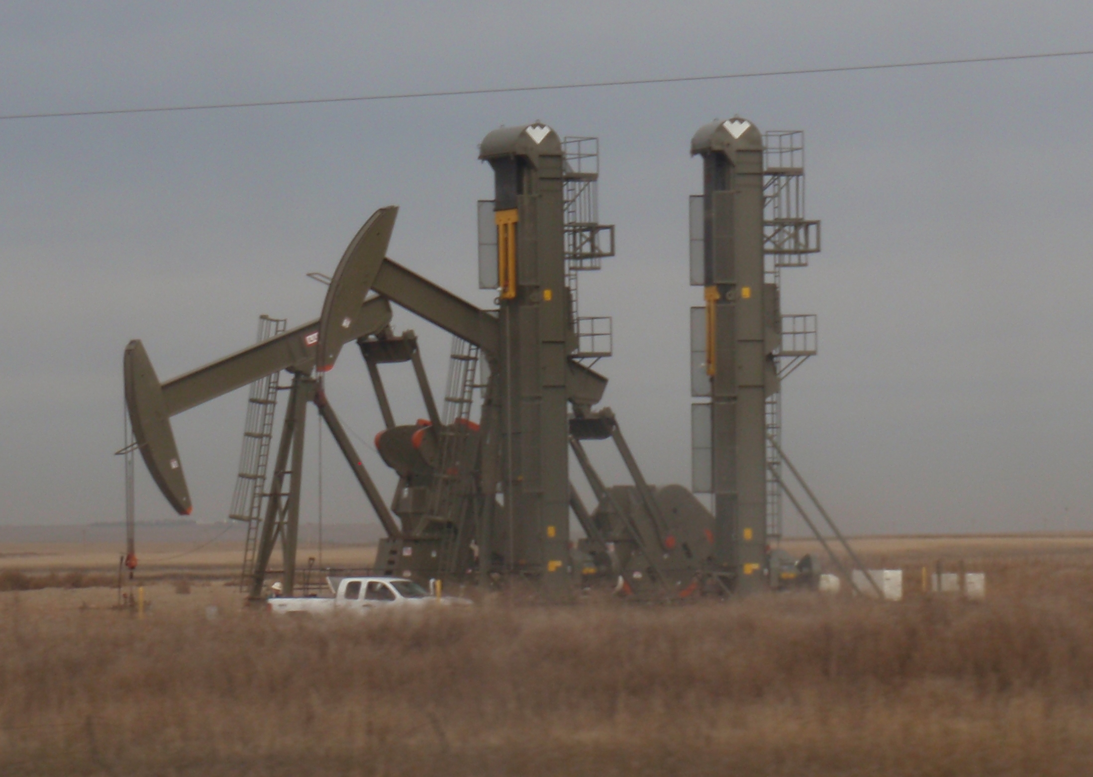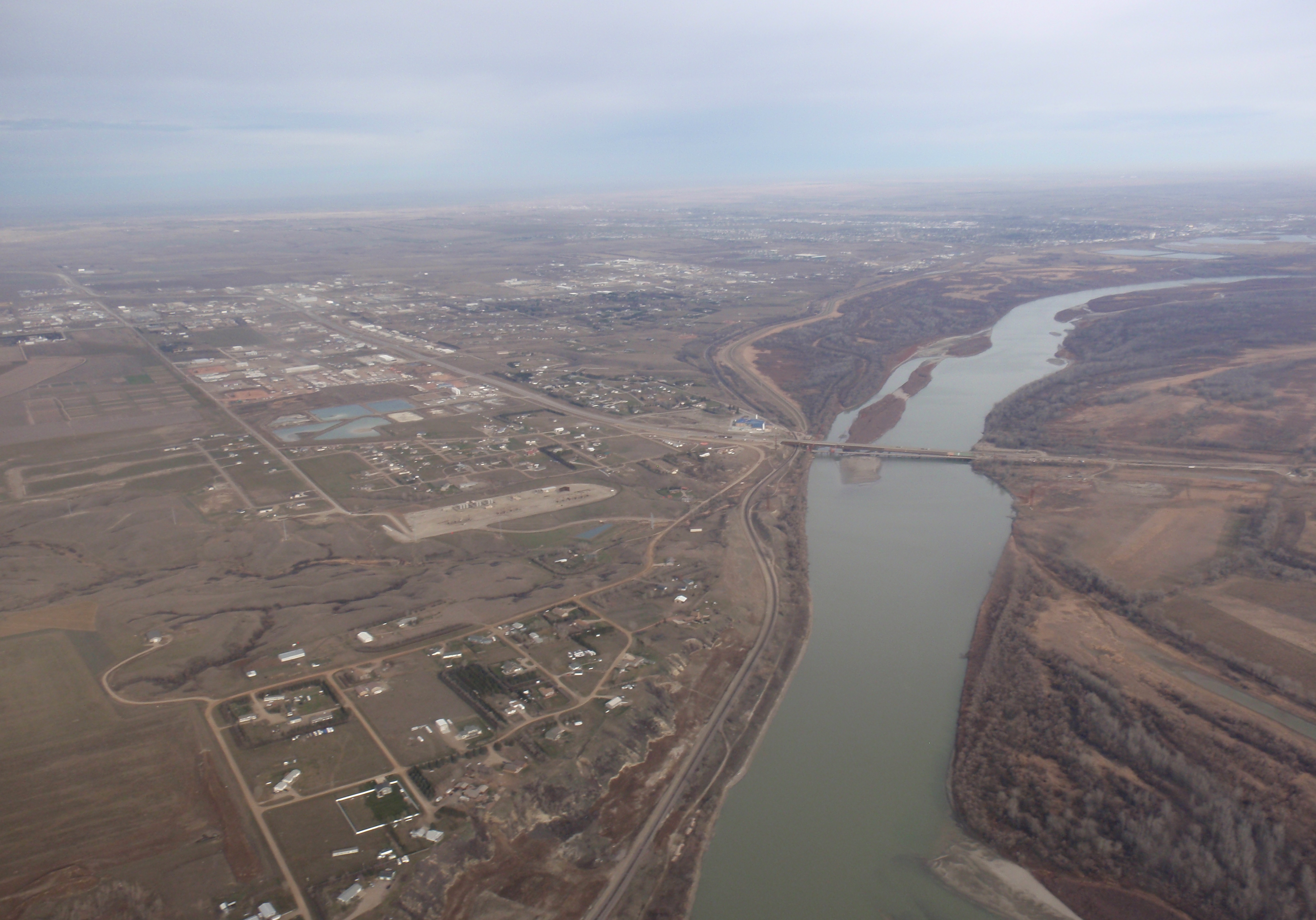
Previous post described a well pad southwest of Williston that holds 14 working wells. These are referred to as the Atlanta wells.
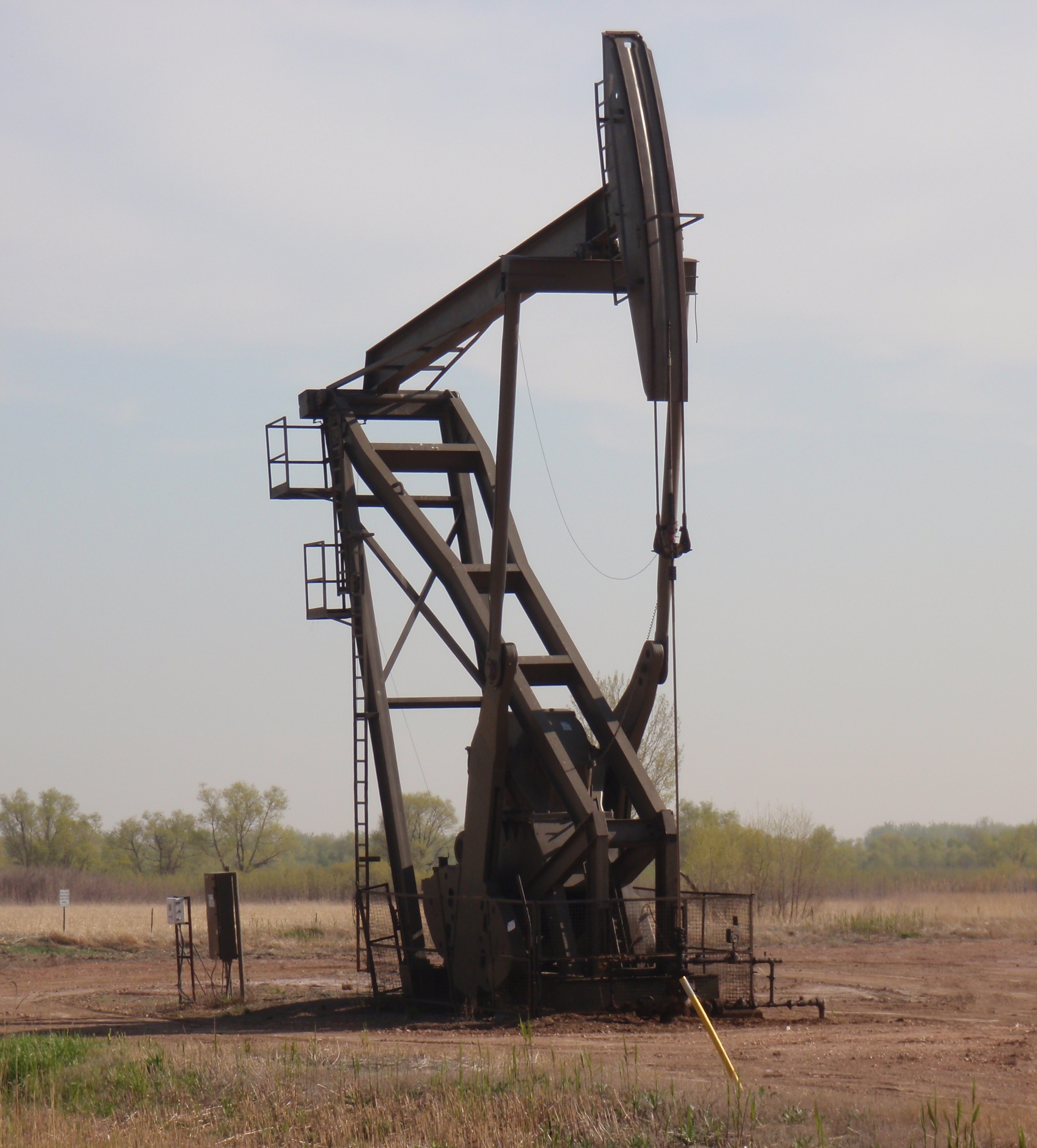
I got some great pictures of the site from the air and from the ground on my recent trip to Williston. Million Dollar Way just updated the production information for the 14 wells. So, decided to bring all that info together.
If you want to find this mega-producer, the address is 4750 141st Ave. NW, Williston. If you want to drive there, be advised the road off the 85 shown on Google maps isn’t there anymore. You will need to take a nearby side street. Coordinates are 48.109623, -103.729930 if you want to look them up on Google maps. The pad is north of the Missouri River and west of the US 85 bridge over the river.
Statistical data
The Million Dollar Way has been following these wells for several years. Check out this post for background and production data:
- post dated 4/2/13 with multiple updates since then – Fourteen CLR Wells In Section 6-153-101, Baker Field, Southwest of Williston — Case No 20154, April Hearing Dockets; 14-Well Array
Here is some statistical data for the wells.
First column is the well number. I/P is the initial production rate, or the barrels produced in the first 24 hours. This used to be an indicator of the eventual production. Today though, the I/P can be throttled back (based on my little bit of understanding) so it isn’t such a great indicator now. Having said that, these I/Ps still say they will be great wells. Third column, layer, is the strata the oil is being pulled from. Next column is the date total depth reached. Final column is the cumulative production, measured in thousands of barrels of oil. MDW updated this through 10/16, so it is very current.
Here’s the data:
| well | I/P | layer | drilled | 000s |
| 23372 | 364 | middle Bakken | 4/2013 | 119 |
| 23371 | 499 | Three Forks | 3/14 | 51 |
| 23370 | 597 | middle Bakken | 4/2013 | 172 |
| 23369 | 370 | Three Forks | 3/14 | 53 |
| 23368 | 441 | middle Bakken | 3/2013 | 128 |
| 23367 | 540 | Three Forks | 3/14 | 68 |
| 23366 | 527 | middle Bakken | 3/14 | 119 |
| 23365 | 311 | Three Forks | 3/14 | 86 |
| 23364 | 583 | middle Bakken | 3/14 | 90 |
| 23363 | 410 | Three Forks | 3/14 | 66 |
| 23362 | 604 | middle Bakken** | 3/14 | 99 |
| 23361 | 407 | Three Forks | 3/14 | 60 |
| 23360 | 522 | middle Bakken | 4/14 | 87 |
| 23359 | 343 | Three Forks | 3/14 | 77 |
| average | 466 | 91 | ||
| total | 1,275 | |||
| ** 2 laterals |
Value of production
I’ve been tracking a lot of data on oil production in the state in a nifty little spreadsheet I set up. The monthly Director’s Report lists the average price of sweet crude in the state. To estimate the value of production I took an average of the sweet crude price from June 2014 through October 2016, which is $42.50. I will round that to $45 a barrel, which is a big simplifying assumption since slightly more of the protection was in 2014 when prices were substantially higher. However, I will go with $45.
I will also make a wild guess that it cost $10 million to drill each of the wells.
So stringing together all my assumptions, I come up with the following calculations:
| assumed revenue per barrel | $ 45 |
| average production, barrels | 91,000 |
| average income per well | $ 4,095,000 |
| – | |
| total production, in barrels | 1,275,000 |
| Estimated total income | $ 57,375,000 |
| – | |
| Wild guess on cost per well | $ 10,000,000 |
| Laterals drilled | 15 |
| Wild guess on total cost | $ 150,000,000 |
I showed my work so you can revise and recalculate as you wish for whatever assumptions you wish to make.
Having made all those assumptions, my wild guess is those 14 wells (with 15 laterals) have produced something the range of $57M of oil in just over two years. That is in comparison to my completely wild guess of about $150M to drill the wells. That is recovering over the course of just over two years gross revenue equal to just over a third of the cost of drilling the wells. An impressive return on investment.
I suppose I should throw in a disclaimer that all the above calculations are mine, based on assumptions pulled out of my slightly informed brain, based on what someone else said a web site said is public information. So don’t put too much reliance on my calculations.
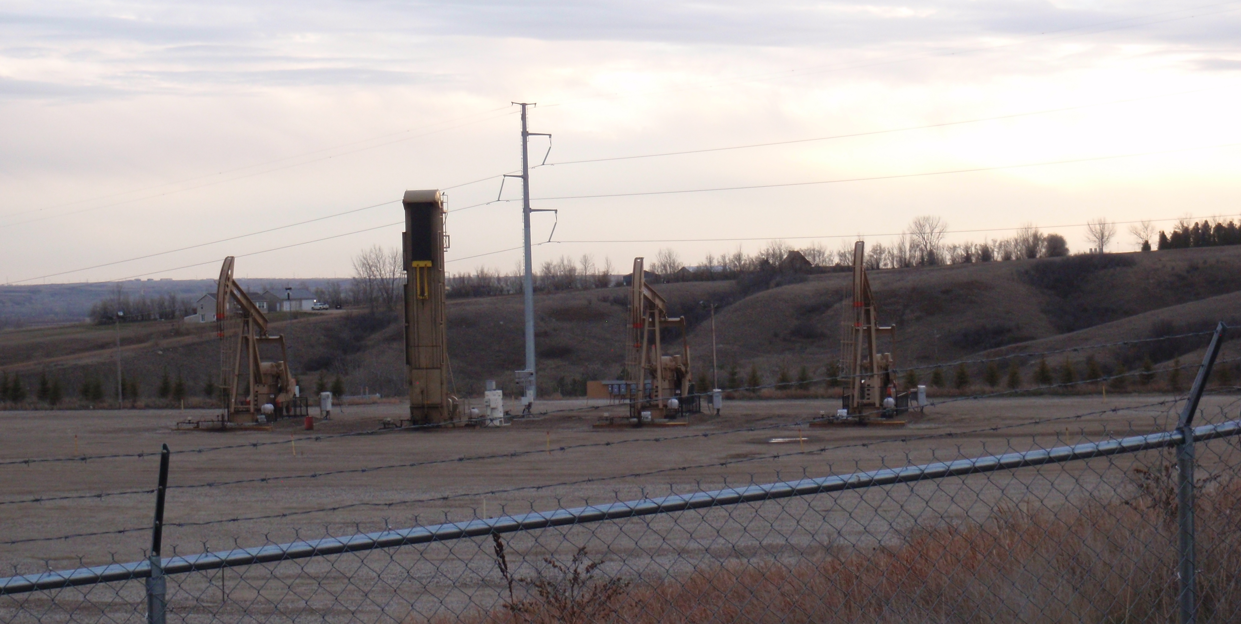
As you can see, one of the pump jacks is not the traditional donkey design. I don’t have a name to put on this type of pump. Can anyone help me?
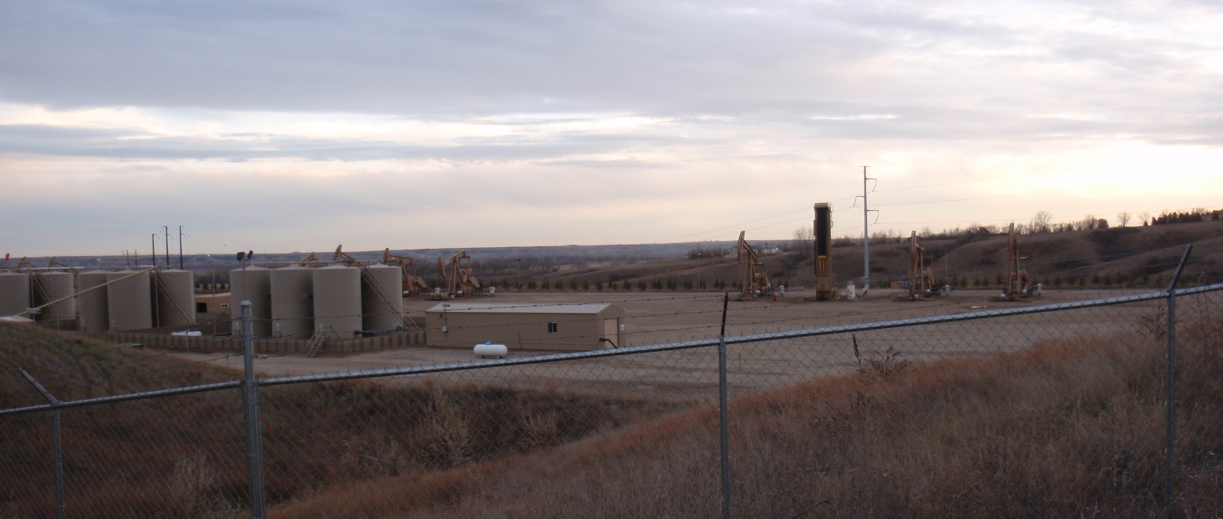
If you look at the Google maps image of the site (use the coordinates mentioned above to find it quickly), you will see long shadows from two of the pumps, meaning there is another one of the wells that had that different type pump at one point in time.
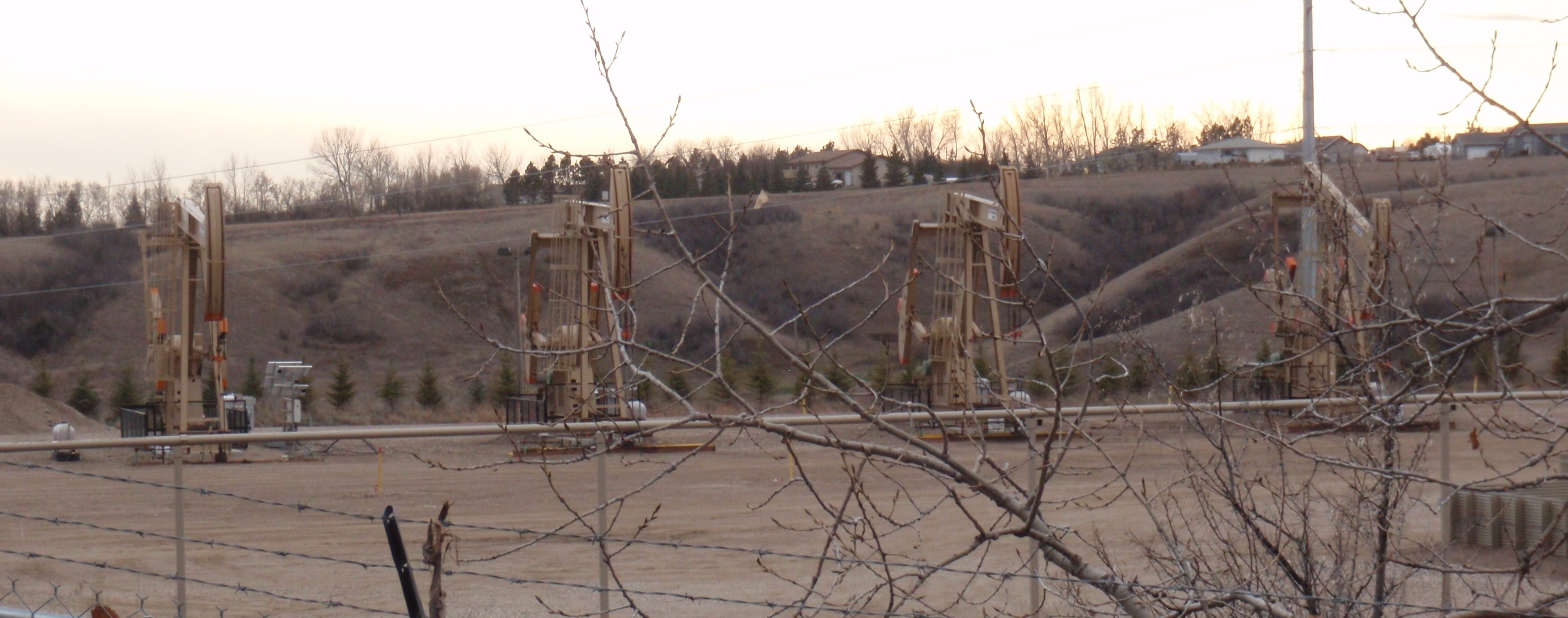
Here are two more closeups of pump jacks.
